- Swim, fish, boat, mine, picnic, explore.
- Find your spot with ease, from well-known to local favorites.
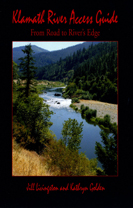
- 102 Pages, including map, photos and illustrations. $11.00.
- Put directly in Cart
- to comprehensive order page /Amazon links
|
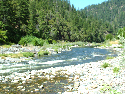
Klamath River Access Guide, From Road to River's Edge tells where and how to recreate along 150 miles of California's middle Klamath River, for a few hours or a few days. This Wild and Scenic river is the state's second largest river. It traverses an uncrowded part of northwestern California, just a few hours from San Francisco or Portland.
The authors are long time residents of the area. They extensively explored the road and river while researching their book, as well as consulting fishing and rafting guides and other local experts.
The book contains a list of local services and campgrounds, numerous photos and nature illustrations and includes tidbits of local history. |

 HOME
HOME